
Search the Oxford Township Street Directory
A useful Oxford Township street directory search is an address workflow, not a claim about everyone who may be connected with a street. Butler County begins that workflow with the Auditor’s address mode. The result establishes a property trail. From there, the map can locate the parcel, the Recorder can supply the recorded land trail, and dated library sources can add historical context. The Ohio voter lookup is not a street-browse tool because its first step requires a person’s name and county. Keep that distinction in mind before treating any address result as evidence about an individual.
- Enter the known address in Butler County Auditor Address Search. Use the street number and street name, and leave the number blank only when a broader street-level parcel browse is appropriate.
- Open the candidate parcel record and preserve the parcel ID, situs address, owner formatting, mailing information, legal description, and source date. The parcel ID is the better bridge when a street label has changed or a lot has been reconfigured.
- Use the Auditor map to confirm the parcel’s physical setting. A map selection can identify nearby parcels, but it does not identify every person associated with them.
- Move to the Recorder with the owner or buyer name, legal description, document number, or book and page. Compare party role, recording date, and the legal land description in the instrument.
- For a historical address, ask Lane Libraries for a dated reverse or criss-cross volume, then compare its printed listing with deeds, census material, and local newspapers. A directory entry and an ownership record answer different questions.
Oxford Township Street Directory Fields
Butler County’s address form is built for parcel searching. Its instructions specifically say not to enter a street suffix. Both address boxes are unmarked optional fields, so a street name without a number can be used to browse a street’s matching parcel records. Partial street text and wildcard use can return containing or stem matches. Results can then be ordered by the listed property fields rather than read as a people list.
| Auditor control | Documented entry rule | Street-search use |
|---|---|---|
| Street Number | Optional input | Use the known number; leave blank only to browse a matching street. |
| Street Name | Do not enter a suffix | Use the core street name; partial and wildcard searching may return stem matches. |
| Sort | Parcel, Owner, Address, Roll, Transfer Date, or Price | Put parcel or address results in a review order suited to the question. |
| Order | Ascending or descending | Review a street from either end or compare recent transfer dates. |
| Results per page | 10, 15, 20, 25, or 50 | Adjust the list size without assuming the list is a complete household record. |
See the Butler County Auditor Address Search before entering a query. It is the official page captured below.
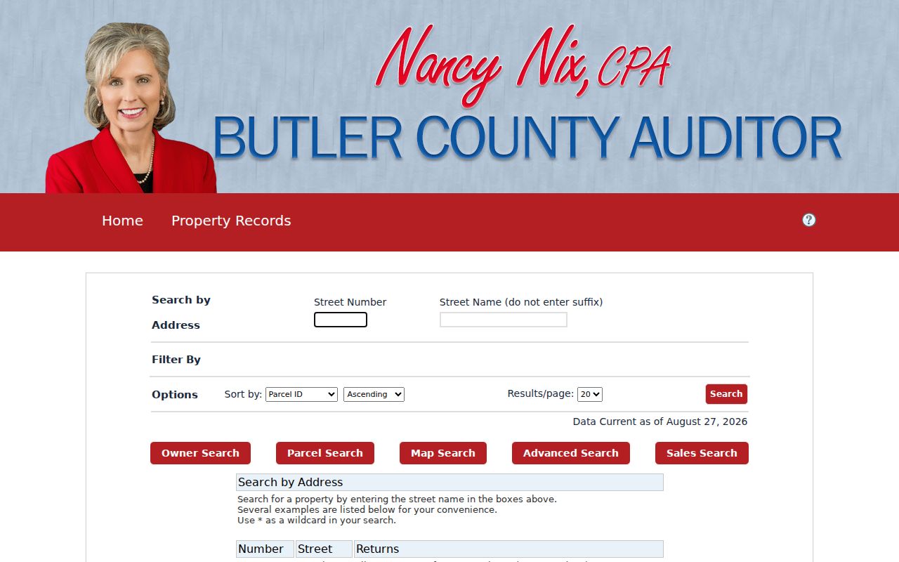
The form’s two-address-field design is why a careful street directory search starts with number and name, not a guessed ZIP filter or a name-only roster.
Oxford Township Address Ownership
The address returned by the Auditor is a starting record, not a conclusion about current residency. County GIS distinguishes the parcel’s location from its tax correspondence fields. The parcel layer includes owner and legal information, location/address components, and separate MAILNAM and MAILADR fields. A mailing address can be a post office box, office, agent, family address, estate representative, or another property. It shows where correspondence goes. It does not establish that the addressee lives at the parcel, and it does not identify all people connected with a property.
The parcel mode is useful after an address result supplies a parcel ID. The Auditor says most county parcel numbers are 14 characters, manufactured-home numbers are 8, and RID/TIF numbers are 15. Saving the returned identifier gives the research trail a stable key for a map or Recorder follow-up. Parcel data should retain its source date because transfers and tax information can change.
Open the Auditor parcel-ID search when the parcel number is already known.
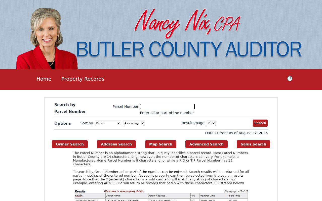
That route complements the street form by carrying one identified property into the county’s parcel and map paths without turning a tax record into an occupancy claim.
Oxford Township Street Buffer Mapping
Butler Auditor Map Search provides a bounded way to inspect the parcel geography around an address. The documented controls include Distance, a Units dropdown, Center Points or Polygons for the buffer geometry, Select By Buffer, and a clear-buffer control. Start by selecting the subject parcel, choose a distance that fits the stated property question, select the nearby parcel features, and open the official record for each parcel. This is an insider way to organize a map review, but it remains a parcel-selection method.
A shared mailing address, adjacent boundary, or map proximity is not proof of family, occupancy, social connection, or control of another parcel. For City territory, the City GIS can add address, street-centerline, zoning, and annexation context. County mapping remains the countywide starting point, especially for unincorporated Township land.
The county GIS parcel layer is the underlying official map resource shown here.
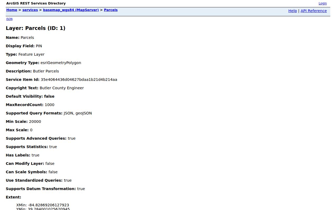
The layer supports parcel context and legal fields. It does not create a resident-neighbor list from the properties selected around a street address.
Oxford Township Street Record Coverage
Several official and local sources can be keyed from an address, but each covers a different part of the record trail. The county Auditor and map establish parcel facts. The Recorder supplies recorded instruments. The Treasurer provides a tax-account channel. City sources add address or permit evidence only after jurisdiction is confirmed, while a physical library volume can offer a dated historical listing. A name-and-county voter lookup has a narrower, person-oriented role and is not street browsing.
| Address-keyed source | Keeper and search basis | Useful record trail | Limit to retain |
|---|---|---|---|
| Auditor Address Search | Butler County Auditor, street number and name | Parcel, owner, tax-property, sales, and map routes | Not a full household roll; do not enter a suffix. |
| Auditor Map Search | Butler County Auditor, selected parcel and buffer | Nearby parcel selection and GIS attributes | Adjacent parcel ownership is not proof of who resides there. |
| Recorder Cloud Search | Butler County Recorder, party, date, legal field, book/page, or OCR | Recorded deeds, plats, mortgages, and title evidence | An address may occur only in OCR text or an old book/page entry. |
| Treasurer search | Butler County Treasurer, parcel ID, name, or address | Tax account, bill, and payment access | A tax account is not title or current-residency proof. |
| City GIS and permits | City of Oxford, City address or property route | City map, annexation, planning, or permit evidence | City jurisdiction and system dates must be checked first. |
| Lane reverse directory | Actual dated library volume | Historical listed adult or household address | Exact local volume years and omissions require confirmation. |
Carry the parcel number and legal description forward. Those values connect the address record to the title trail more reliably than a street name alone.
Recorder OCR for Oxford Township Streets
The Recorder’s advanced search is designed for recorded documents, not an address directory. It separates Party Names, Grantor, and Grantee; offers recorded-date controls; and exposes document type, document number, department, book, page, full-document OCR, and City, Subdivision, Township, and Condo legal fields. Use OCR as a clue when an address or parcel text appears inside a document. Then read the instrument and compare its party roles, date, legal description, and document or book-page reference.
Older deeds present a local indexing issue. The Recorder’s Cloud Search guidance says some deeds from the 1930s and 1940s were imported by book and page rather than a normal address or party index. If OCR and a modern street name do not surface an old transfer, preserve the legal description, party variants, and book/page values for a Recorder counter follow-up.
| Party search | Grantor and grantee fields accept LASTNAME FIRSTNAME; press Enter to add a party. |
|---|---|
| Recorded date | Start and end controls use the displayed MM/DD/YYYY format. |
| Historic bridge | Book, Page, document number, OCR, and legal fields keep old records connected to a current parcel. |
Review the Butler County Recorder advanced search before building a date or party query.
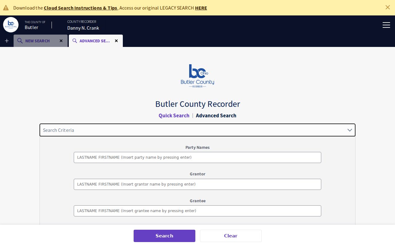
The advanced form makes clear why an address hit needs document review: a full-text match can refer to a notice, a prior party, or an adjacent parcel rather than the property under study.
Oxford Township Address Legal Descriptions
A street number is convenient, but a recorded legal description carries land identity through a subdivision change, condominium record, annexation, rural-route notation, or address mismatch. Copy the street address, parcel ID, legal description, document number, book/page, source date, and the exact spelling of party names. This small record set makes it possible to compare an Auditor result with a deed without forcing one modern label onto every earlier record.
- Parcel
- A county property unit identified by a parcel number. It is the practical bridge between the Auditor record, map, and later deed research.
- Situs address
- The physical location used for property and public-works context. It is separate from the address used for tax correspondence.
- Plat
- A recorded map that lays out lots, streets, or subdivisions. It can explain a lot description when a street search no longer matches an older record.
- Criss-cross directory
- A reverse-style directory arranged by address when an actual dated volume is available. It can show a historical listing, not a definitive ownership record.
Oxford Township City Address Records
Oxford Township includes the City of Oxford, a College Corner portion, and an unincorporated remainder, so an Oxford mailing label does not settle jurisdiction. For a property actually within City limits, City GIS inventories addresses, street centerlines, utility networks, zoning districts, and related geographically referenced data. The City’s annexation-history map is useful context, but recorded deeds, plats, and survey control remain the property-boundary authority.
City permit information must stay within that boundary. The City moved its building-permit workflow to GovWell on May 1, 2026, and its periodic building reports can show an address, permit number, permit type, and issue date. For an unincorporated Township address, return to Butler County property, recording, and permit channels instead of assuming that a City report covers it.
The Butler County Citizen Portal is the County route shown below. It advertises property, planning, building, and water-and-sewer search areas, but its live field definitions and coverage dates were not captured.
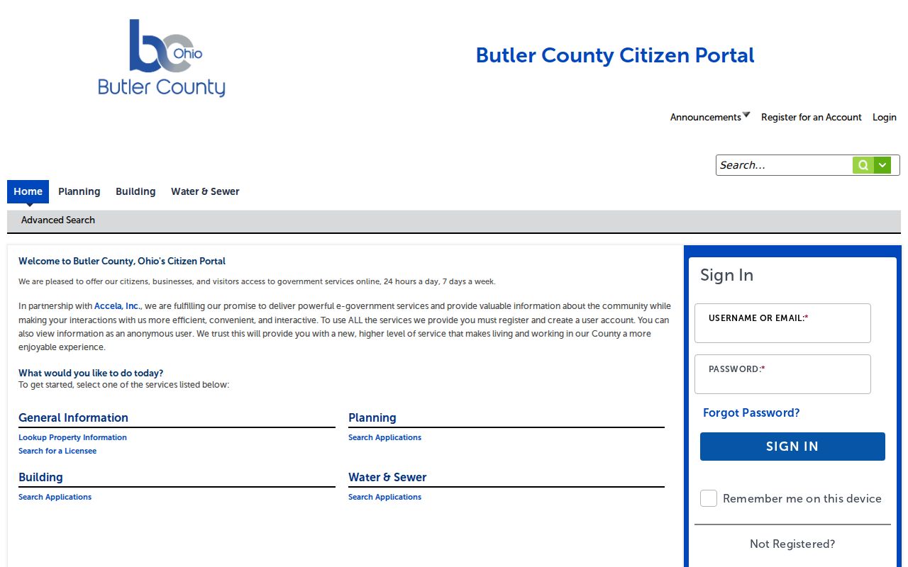
The portal can be viewed anonymously, while some services require an account. Confirm the jurisdiction and the specific module before claiming what an individual City or County address record contains.
Oxford Township Street ZIP Checks
Use USPS to validate the exact mailing or situs address before treating a ZIP as part of the address trail. A ZIP is a postal delivery construct, not a City or Township boundary. The Township’s own contacts use 45056, while the presence of a College Corner post office at 45003 does not map every address in the civil Township. Postal validation standardizes the address. The Auditor then ties that address to the county parcel, and the Recorder can supply the land record.
The Treasurer has an additional property-tax search that accepts parcel ID, name, or address. A single bill or payment can be viewed without registration, but tax access remains a tax-account channel rather than a statement of title or present household membership.
Use the Butler County Treasurer property-tax search only after identifying the relevant parcel or address.
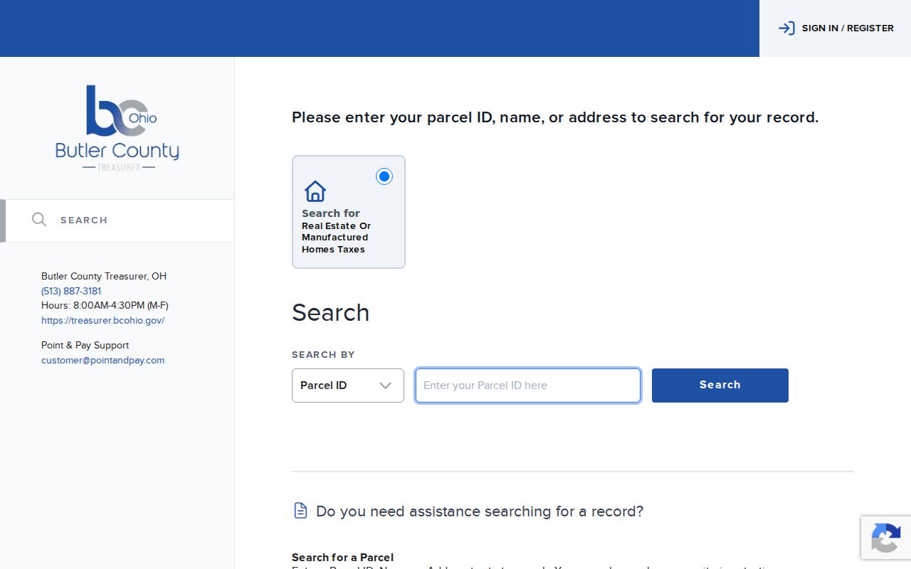
The tax search adds account and payment access to the street record trail, while the Recorder remains the route for recorded title instruments.
Oxford Township Criss-Cross Directories
For an older street listing, Lane’s catalog establishes a Hamilton-Oxford Dickman criss-cross series, but it does not verify every annual volume held by Smith Library or another branch. Ask local-history staff for the exact target year, the available reverse or criss-cross issue, access restrictions, and any missing years. Read the chosen volume’s abbreviation key and address order before transcribing an entry. The catalog also identifies a 1938 Miami University land directory that includes deeded Oxford Township land, a more specialized land-history lead rather than a general street roll.
Lane Libraries also offers documented property-history, obituary/newspaper, and genealogy research service. That human route is valuable where a historic address has a rural description, a changed lot, or an uncertain directory year. A historical listing should be copied with its publication year and page reference, then tested against the parcel and recorded-deed trail. The Oxford Township Directory Book has the collection-focused route, and Resident Lookup handles a name-centered verification path.
Oxford Township Street Search Limits
No verified public tool provides a street-by-street roster for Oxford Township. Auditor ownership and mailing data do not prove occupancy. The voter lookup starts with first name, last name, and county, so it cannot browse a street. Protected or nonpublic information, including confidential voter data, motor-vehicle personal information, utility customer records, sealed material, and private household details, is not made public merely because an address is known. Missing or redacted data should be treated as a privacy protection.
Lawful use. Use Oxford Township street directory address records for personal, lawful research and verify important facts with the responsible custodian. Do not use an address trail to stalk, harass, intimidate, or harm another person.
Review Oxford Township Address Records
A careful street directory result keeps source types separate: the Auditor identifies a current parcel trail, the map provides geography, the Recorder documents recorded transactions, and a dated library source may add a historical listing. Record the query used, the date viewed, the parcel ID, the legal description, and any disagreement among sources. No authoritative Township-wide street-renumbering project or conversion table was located, so an older mismatch should lead back to the legal description, recorded plat, County GIS, and the appropriate jurisdiction rather than a guessed renumbering history.