
Oxford Township Neighbor Sources
Public sources answer different block questions. Butler County’s map and property tools identify parcels around a subject address and may display owner or tax-correspondence information. Recorder instruments follow documented property events. The state voter tool is name-and-county based, so it cannot create a street roster. Historical materials at Smith Library can place a listed household at an address in a particular publication year. These layers are useful only when their scope and date are kept separate.
| Source | What It Shows About a Block | Access |
|---|---|---|
| Butler County Auditor Map Search | Mapped parcel features selected around a subject parcel | Public map tool with buffer controls |
| Butler County Auditor Property Search | Owner, situs, tax-mailing, parcel, and related property trail when displayed | Owner, address, parcel, map, sales, and advanced search routes |
| Butler County Recorder | Recorded parties, legal descriptions, and land-document history | Official search and Recorder counter |
| Ohio My Voter Information | An individual registration and precinct check after a name-and-county query | First name, last name, and Butler County required |
| Smith Library of Regional History | Historical directories, maps, newspapers, and property-history research leads | Library catalog, staff, and research-service route |
Nearby ownership is not the same as nearby residency. A recorded owner can be an estate, trust, entity, or person whose tax mail goes elsewhere. The public record therefore supports parcel navigation and document verification, not assumptions about present household membership or personal relationships among Oxford Township neighbors.
Map Oxford Township Neighbors
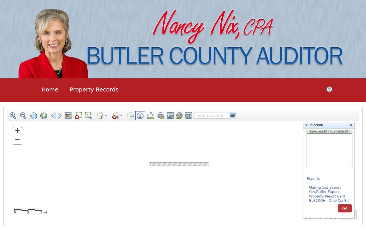
The Auditor Map Search has the documented controls needed for a limited adjacent-parcel check: Distance, a Units menu, a buffer choice between Center Points and Polygons, Select By Buffer, and clear-buffer controls. Those real controls are a practical way to select a geographic area. They do not produce a report about people. Use only a distance that fits the stated parcel question, then open each selected property record one at a time.
- Find the subject in Butler County Auditor Address or Parcel Search and save the parcel identifier, legal description, and map-view date.
- Open Map Search, select the subject feature, choose a defensible distance and unit, then choose Center Points or Polygons for the buffer geometry.
- Select by buffer and retain the identifier for each returned parcel. Clear the buffer before beginning a different question so the selections do not merge.
- Read each public parcel record for its separate owner, situs, and mailing fields. If recorded history matters, carry the legal description or document reference to the Recorder.
The Butler County Auditor Map Search shows the adjacent-parcel buffer controls.
A buffer selects parcel features based on geography. It does not show who knows one another, who receives deliveries there, or who is present at an address. For a full street-by-street record chain, use the Oxford Township Street Directory.
Oxford Township Owner Records
The most important distinction in a neighbor search is situs versus mailing address. Situs is the physical parcel location. The county GIS schema separately exposes mailing-name and mailing-address fields, which are the tax-correspondence destination. A different mailing address may be a post office box, business office, agent, estate representative, or another property. It does not demonstrate that the owner lives there. Even matching situs and mailing strings remain a dated ownership clue, not a list of everyone at the address.
Read the Auditor’s parcel and the Recorder’s instrument together. The parcel supplies a current land reference and the Recorder supplies the recorded party roles, document number or book/page, recording date, and legal description. A trust, joint ownership, or estate may need a carefully read instrument before a name is connected to the correct parcel. No live Auditor parcel card was captured in the research, so unverified on-screen result labels should not be invented.
A tax account, map label, or mailing field should never be used to infer private family, organizational, or household connections. The sound result is a dated parcel and instrument trail with its custodian identified.
Oxford Township City Boundary
Oxford Township includes the City of Oxford, a College Corner portion, and an unincorporated remainder. That geography changes the records route. Butler County Auditor and Recorder systems are the countywide foundation. City of Oxford GIS, address/property tools, annexation information, and Community Development permit reports are supplemental sources only after the parcel is confirmed within City territory. A City screen is not a township-wide neighbor map.
For a City address, the City GIS inventory includes addresses, street centerlines, utility networks, zoning districts, and related map applications. Its annexation history can help explain why a City source appears for land once described as Township territory. Recorded deeds, plats, and survey control remain the proper legal-boundary sources. An unincorporated Township parcel should return to County property, recording, and county permit channels.
The City of Oxford GIS and mapping page is a useful City-territory boundary check.
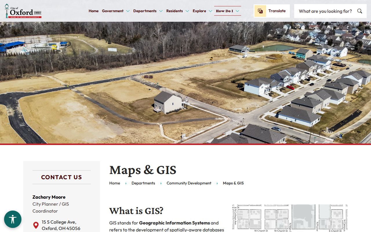
Use City layers to test City jurisdiction, not to extend municipal data to every Oxford Township parcel.
Oxford Township Voter Limit
Ohio My Voter Information cannot browse a nearby street. Its visible first step requires first name, last name, and county, with Butler County required for an Oxford Township candidate. The search may offer a street-name narrowing selector after processing, but that is part of an individual search. It is not a public tool for constructing a block list of Oxford Township neighbors.
The Ohio SOS DATA Act archive is different again. It offers public daily voter-registration snapshots, created by county boards and handled under the portal’s current terms. Raw availability does not remove protected-record limits or authorize a consumer block roster. A no-match can reflect a name variation, former surname, moved county, delayed update, or confidential registration, not an error to work around.
Oxford Township Community Contacts
No official township-wide HOA or neighborhood-association membership directory was verified. Do not assume that an association exists for a block or that its membership is public. The following are documented public custodian or community research routes. They can answer questions about public offices, City territory, and historical sources without turning voluntary or private group participation into a directory.
| Public contact or route | Verified access | Boundary |
|---|---|---|
| Oxford Township trustees | Butler County Engineer township directory: P.O. Box 712, Oxford, OH 45056; 513-523-7131 | Township trustee, fiscal-officer, meeting, and road-contact route; not an HOA directory |
| City of Oxford Community Development | City maps and GIS route and City permit reports | Use only for confirmed City of Oxford territory |
| Smith Library of Regional History | 441 S. Locust St., Oxford, OH 45056, 513-523-3035 | Historical directories, maps, newspapers, photos, and property-history research, not current block membership |
Smith’s published research hours should be confirmed before a visit. Its historical records are particularly useful when the question is which household was listed at an address in a specific year, rather than who is currently nearby.
The City Community Development reports page shows the City’s permit-report route.
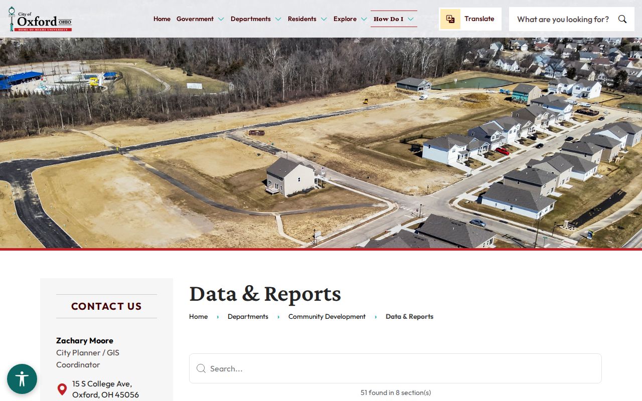
Permit reports can establish a dated City record lead, but they do not show the present people at a parcel and do not cover the Township as a whole.
Oxford Township Historic Block
For an older block, retain the parcel identifier and legal description. A legal description identifies land through lot, subdivision, township, section, range, condominium, or other recorded terms. It can preserve continuity when a road changed form, a parcel was replatted, or a modern street address does not appear as a structured index field in an older document. The Recorder’s City Legal, Subdivision Legal, Township Legal, and Condo Legal controls support that careful approach.
Lane Libraries offers property-history, obituary, newspaper, and genealogy research services through Smith Library. Ask for an exact date, historical address or rural-route description, parcel or legal description, and relevant name variants. A reverse or criss-cross directory, if the library holds the specific volume, can identify a listed adult or household at publication time. It should be paired with the deed chain and not treated as a present-neighbor record.
Keep the volume year, page or image reference, and any printed abbreviation key with the finding. The research did not inspect a particular Oxford directory entry, so it does not establish a uniform field set for local directories. A person listed at an address may have been a boarder, student, owner, or another household member depending on the publisher’s notation. A dated directory, census, deed, and estate record are complementary evidence, not interchangeable proof.
The City of Oxford Cemetery page provides a separate historic research route through its public headstone and gravesite viewers.
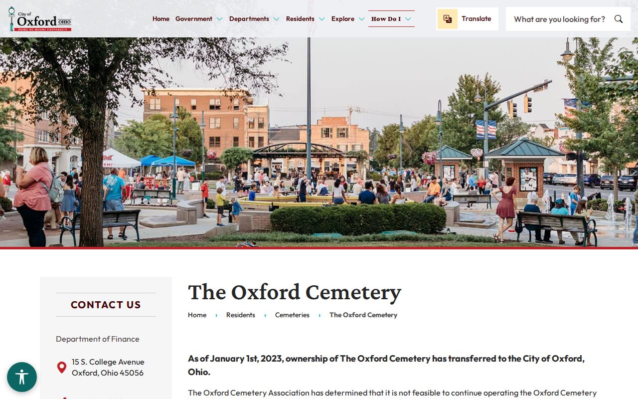
The cemetery is a City resource, not a complete Oxford Township burial database. Use a marker or plot lead with an obituary, Probate record, or archival date before connecting it to a historical parcel trail.
Oxford Township Neighbor Limits
Public parcel tools, recorded instruments, and dated library material are more dependable than a commercial neighbor-lookup category because the official source identifies its custodian and record scope. That does not make an official source complete. The table below separates the two categories without treating either as a personal profile.
| Category | Useful public evidence | Limit |
|---|---|---|
| Official custodian records | Parcel identifiers, owner or mailing fields when displayed, recorded instrument roles, City-boundary data, and dated historical materials | Each source has its own date, jurisdiction, confidentiality, and field limits |
| Commercial neighbor-lookup category | May combine material from mixed sources | May be stale or misassigned; correction and removal procedures are separate from the originating custodian |
Ohio Safe at Home participants may have substitute-address and confidential voter protections. ORC §149.45 redaction requests go to the office that maintains the online record. DMV personal information, utility and delivery information, sealed or expunged records, juvenile and adoption files, protected voter information, and confidential investigations are not block-lookup data. Missing information can be a deliberate safety protection.
Lawful use. Oxford Township neighbors research is for personal, lawful purposes such as understanding parcel boundaries, historic block context, or a public record. Do not use it to monitor, stalk, harass, intimidate, or harm anyone.